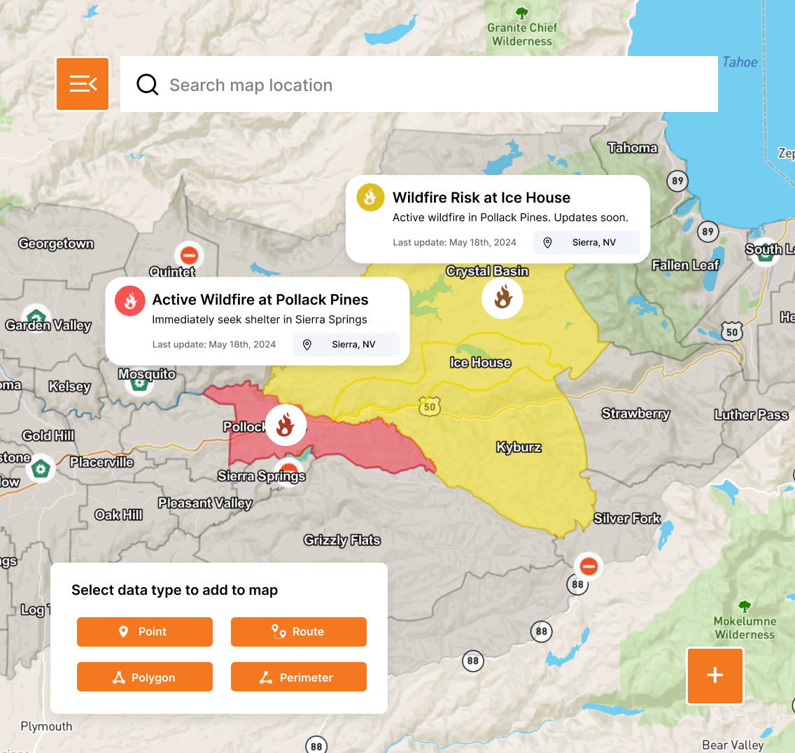
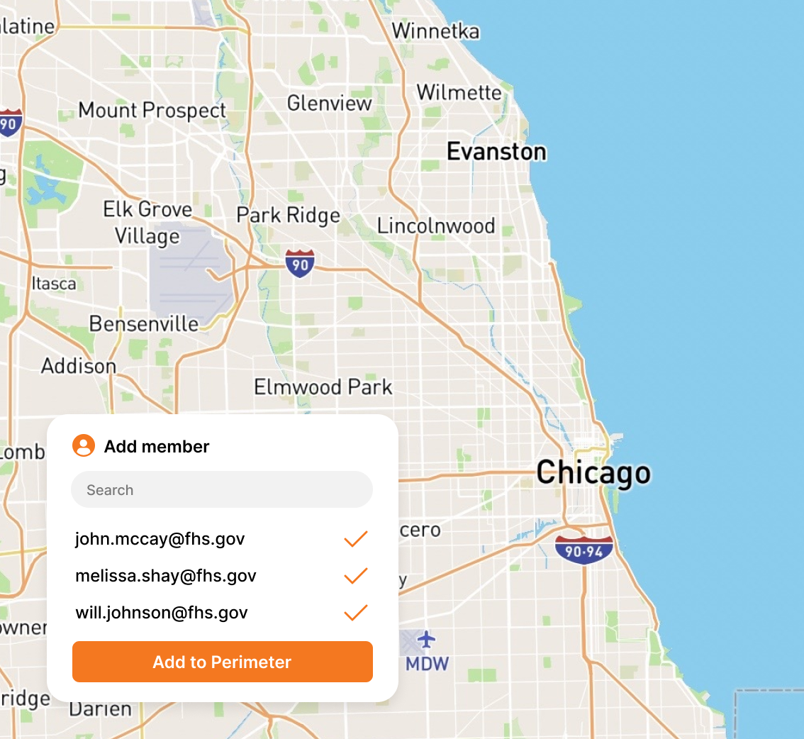
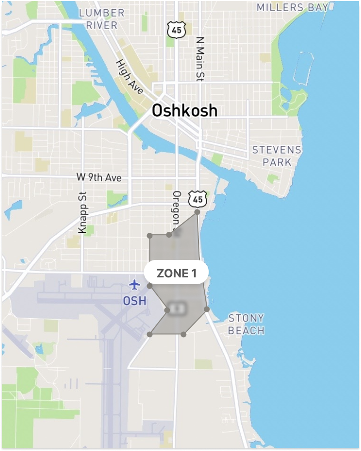
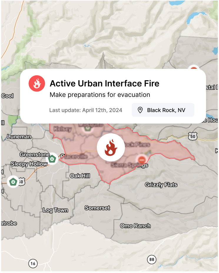
The first public safety platform to bridge AI-based evacuation planning with real-time, collaborative situational awareness mapping. Validate your zones with Perimeter Plan, then deploy Perimeter Map to unite agencies and the public in a true Common Operating Picture.
Request a DemoTrusted by public safety agencies, relied on by communities
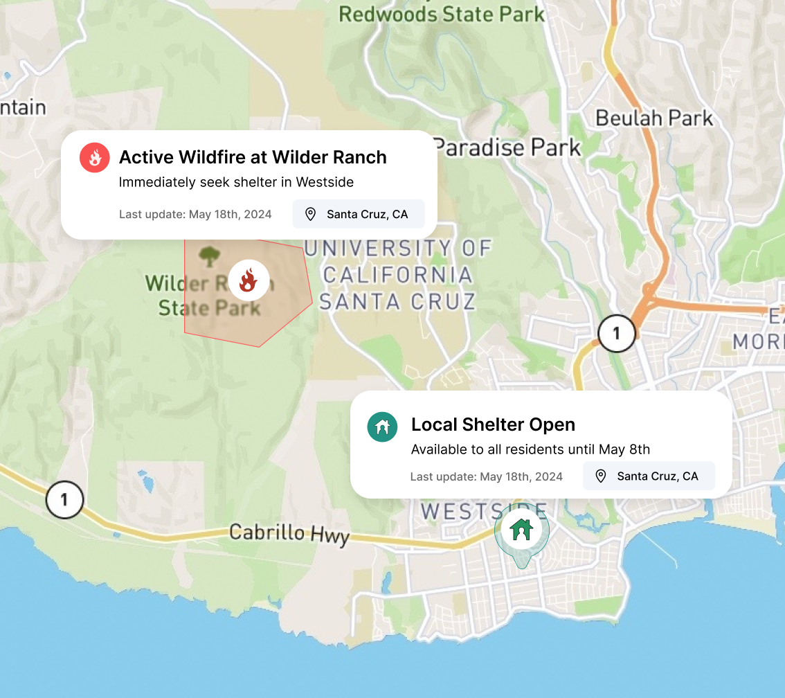
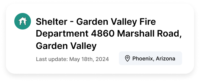
Be the voice of authority your community trusts.