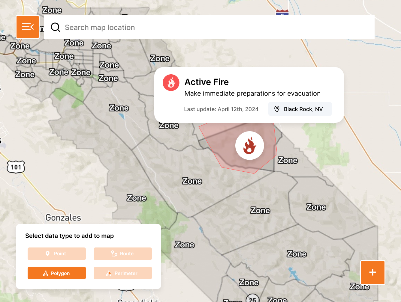


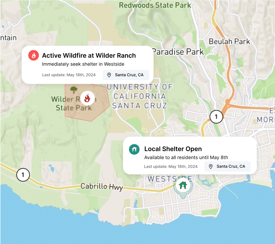
Create pre-planned or ad hoc zones to ensure your residents and visitors have the best possible information.
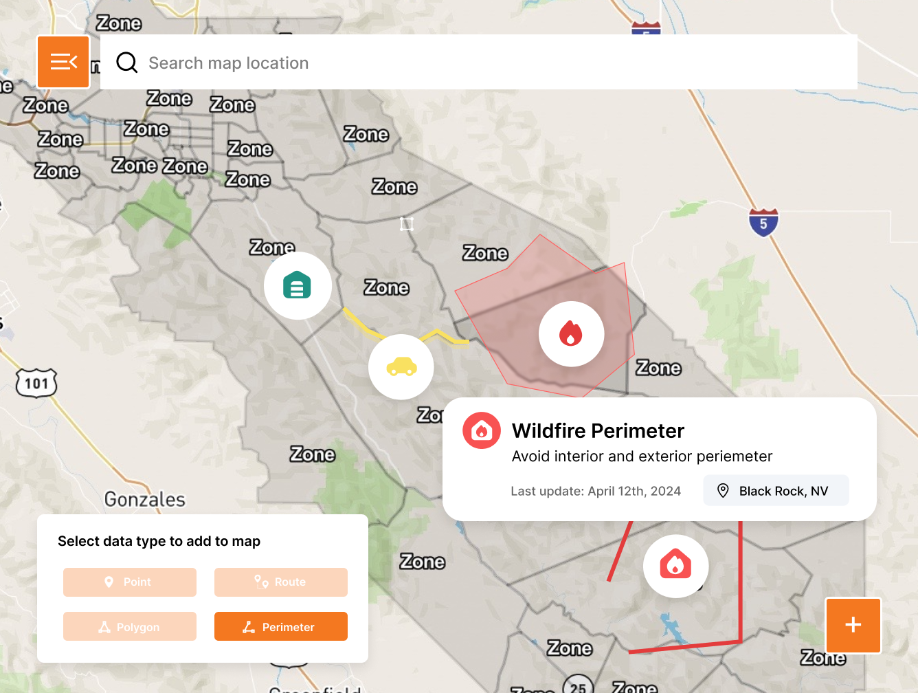
Plan, coordinate, and communicate on one authoritative map
Be the source of truth your community trusts
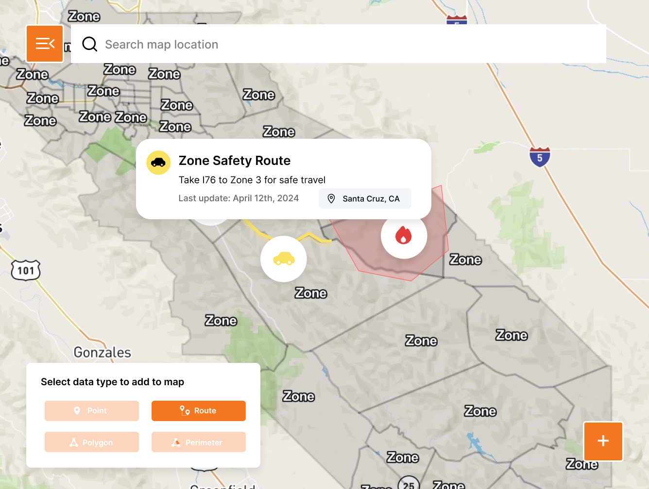
Run “what if” evacuation scenarios before a crisis.
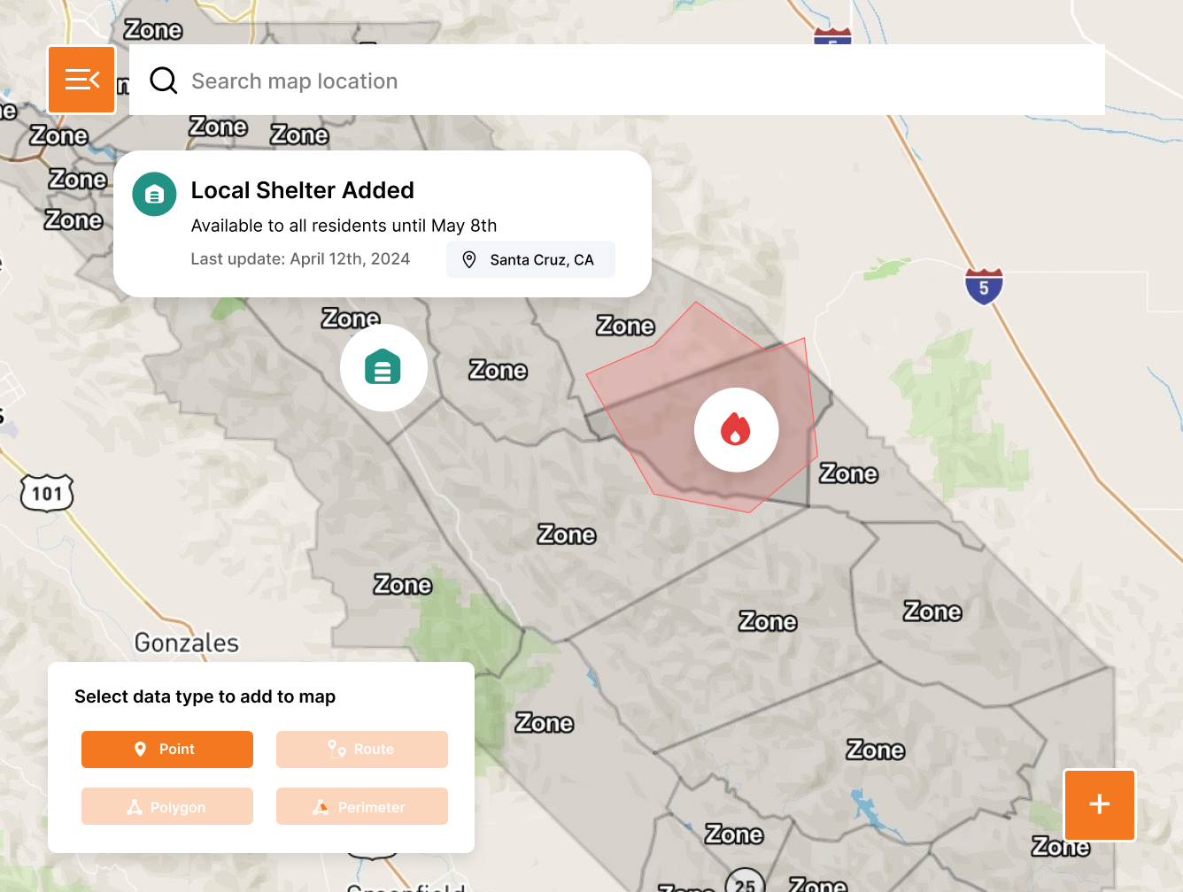
Align agencies and mutual aid partners on one live common operating picture.
Share the same view with the public using one link instantly.
Have a General Question? Visit our Contact Us Page.
Need Support? Visit our Support Page.
Request a Demo