Perimeter Staff – August 1, 2023
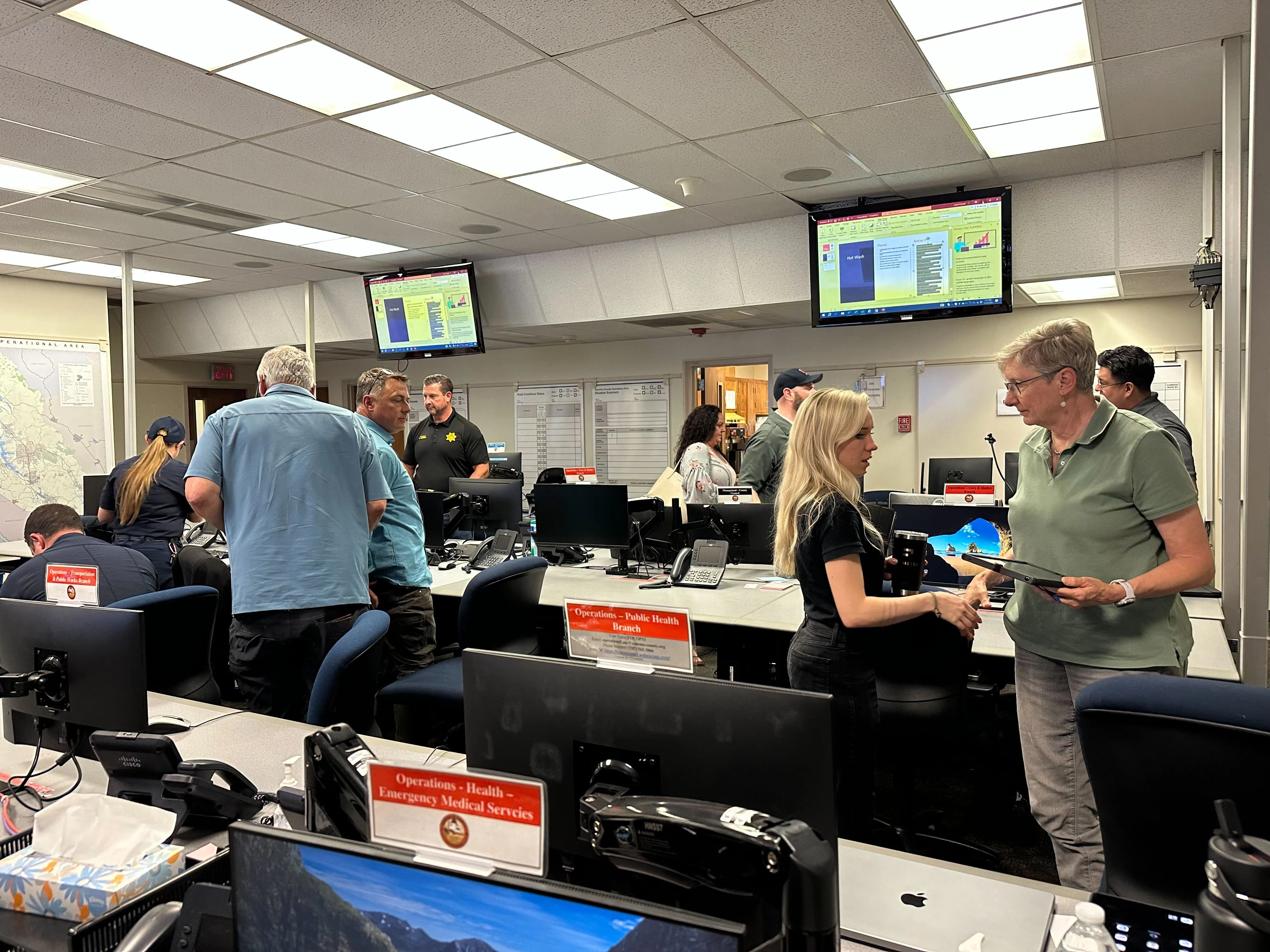
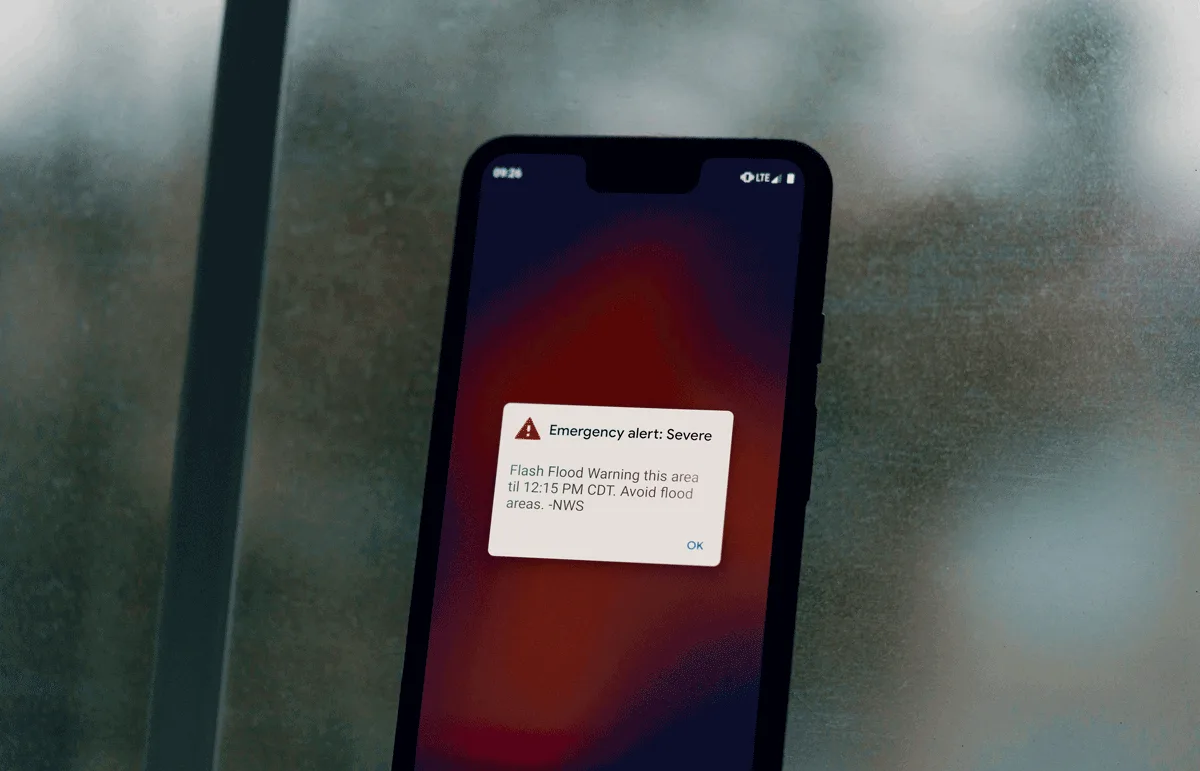
Perimeter is an all-risk platform that utilizes geospatial information system (GIS) mapping for real-time incident and evacuation management — but this system has many uses beyond just major emergencies.
The Perimeter Platform allows for data to be collected and shared in real-time with the public, as well as between first responders. During major disasters, incident details like shelter locations or evacuation notices can be communicated to the public or used for interagency coordination. However, these same data entries can be used in day-to-day and non-emergency settings.
“Public safety agencies work with a lot of geospatial information, which can be communicated more effectively when visualized on a map,” Perimeter CTO Noah Wu said. “Perimeter allows agencies — from different jurisdictions and often using different tools and software — to collaborate and share information with each other and the public securely and efficiently.”
CMO Trevor Greenan assisting with data entry to Perimeter Platform for Sonoma County drill.
Community events like parades, sports events, concerts, delegates’ visits, and evacuation drills demand a similar management system to emergencies. With Perimeter’s GIS tool, agencies responsible for crowd and traffic control can continually monitor the event, while also actively communicating with one another via the Perimeter Platform’s internal notes and unpublished data points.
Additionally, road closures, traffic control points, resource distribution locations, and public safety announcements can be publicly shared and easily accessed. These data points can be used to manage day-to-day incidents that may not qualify as major disasters but are still overseen by local public safety agencies.
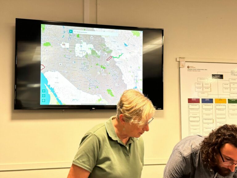
In addition to managing public events and smaller incidents, Perimeter can play an important role in emergency pre-planning and training. For example, an on-site training held by Sonoma County in June utilized the Perimeter Platform to upload evacuation zones, mark potential fire locations, and direct the public to designated shelters. The real-time nature of the platform was essential to replicating the conditions of an actual incident and the resulting mitigation efforts.
Regardless of the scope or intensity of an incident, GIS mapping is integral to consolidating communication channels and encouraging greater collaboration between different agencies. This helps to decentralize information and reduce the impact of data silos, as discussed in our recent blog series.
By Kelsey McIvor. Questions? Get in touch at kelseymcivor@perimeterplatform.com.