Perimeter Staff – July 31, 2023
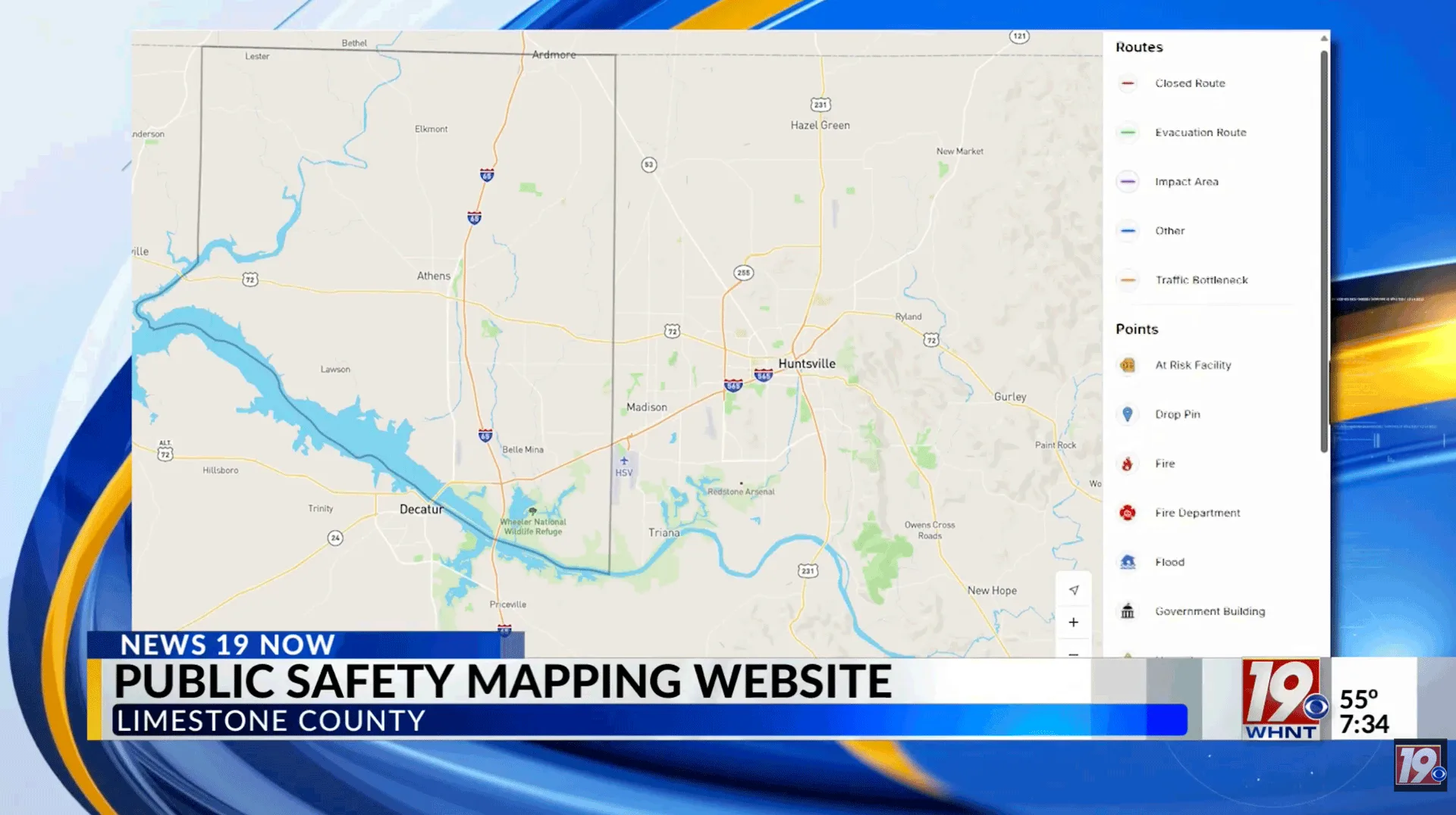
Following a series of devastating floods, the Perimeter Platform was activated from Jan. 4 through 17, 2023 in Merced County to publish road closure, emergency shelter, and sandbag resource locations, as well as other evacuation instructions.
Between January and March of 2023, Merced County was subject to a series of rainstorms that resulted in more than 15,000 evacuation warnings due to severe flooding and dangerous road conditions. During the two week incident, the Perimeter public map received over one million total webpage visits.
The Perimeter public map provides a user-friendly interface for residents, tourists, and other visitors to receive real-time information during an incident, with no sign-up or opt-in required. This is opposed to traditional mass notification tools, which tend to require prior registration and have a historically low 5% opt-in rate.
On Jan. 4, Merced released a link to the Perimeter map via a county-wide press release for its 286,000 residents — within an hour of this statement, Perimeter’s map received approximately 50,000 views. In total, the map received an average of 10,000 visits per hour during peak hours for the duration of the deployment.
“We needed something that gave us the flexibility to update information during a situation that was rapidly changing and lasted for several weeks at a time,” Captain Aaron Rosenberg of the Merced County Sheriff’s Office said in a recent testimonial. “This is where Perimeter CEO Bailey Farren, her team, and the Perimeter Platform helped to set us apart from other areas dealing with the same emergency.”

CEO Bailey Farren working alongside Merced Sheriff’s Department for flood assessments.
The Perimeter team worked on-site to onboard more than thirty Merced County public safety personnel in direct response to the disaster, as well as in preparation for future incidents. Additionally, more than one hundred data points, including inundation zones, were added to Perimeter’s public map over the course of the platform’s activation.
“Getting fast, up-to-date information about road conditions, sandbags, evacuation zones, and shelter locations to our community members was paramount to us during this state of emergency,” Captain Rosenberg said.
Merced County and Perimeter officially announced a partnership on Jan. 2, 2023. Both the OES and Sheriff’s Office have deemed the platform as “invaluable” for collaboration and communication. The platform will only be updated by Merced County during emergencies, as announced by the Merced County Office of Emergency Services (OES).
For further inquiries about Perimeter, please contact Chief Development Officer Van Riviere at van@perimeterplatform.com.
By Kelsey McIvor. Questions? Get in touch at kelseymcivor@perimeterplatform.com