On March 23, 2023, San Joaquin County began a contract with Perimeter, an all-risk evacuation management platform that supports information sharing and collaboration across disciplines, jurisdictional boundaries, and the public.
San Joaquin County is now working in collaboration with Perimeter to create evacuation zones for future incidents. In the past year, the app has also been used to manage road closures and shelter locations for flood scenarios, optimizing evacuation management efficiency.
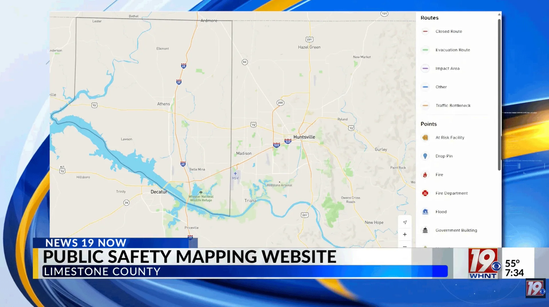
The Perimeter Platform aids public safety by making critical information like evacuation notices, road closures, and shelter locations available on its user-friendly county map. The platform’s evacuation management system allows public safety personnel, news agencies, and residents to easily share the most up-to-date information.
With no sign-up or opt-in required, individuals can visit Perimeter’s public map to see if they are in an impacted area during an incident. The platform will only be updated by San Joaquin County during major incidents, as announced by San Joaquin Office of Emergency Services.
Over the past several months, San Joaquin has experienced heavy rainfall and extreme flooding. Multiple communities in the county have been placed under evacuation orders and property damage is still being calculated.
To learn more about San Joaquin County public safety resources, click here.
By Kelsey McIvor. Questions? Get in touch at kelseymcivor@perimeterplatform.com


 Perimeter Staff – August 2, 2023


