Perimeter Staff – November 12, 2025
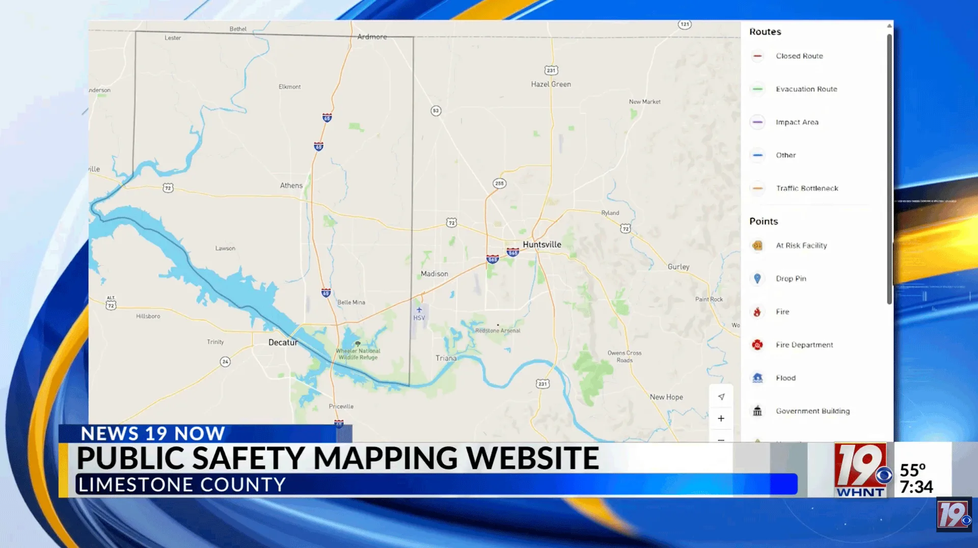
Limestone County, Alabama EMA launches real-time emergency map powered by Perimeter Map
The Limestone County Emergency Management Agency (EMA) in Alabama has launched a free, real-time interactive service called Perimeter Map, now available to the public at perimetermap.com/limestone-al and embedded directly on the Limestone County EMA website.
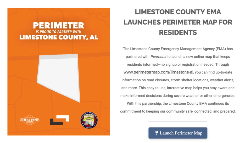
Click the image above to visit perimeter.com/limestone-al
As covered by WAFF 48 News and The News Courier, the new service provides continuously updated information about hazards, road closures, road work, and other public safety resources across Limestone County. Residents can use interactive filters to view location-specific updates about flooding, fires, medical emergencies, accidents, and staging areas during large-scale emergencies. The service also displayed the locations of countywide community shelters during the county’s first brush with sub-freezing temperatures this season.
Limestone County EMA Officer Caleb King told WAFF 48 that Perimeter Map gives all municipalities and public safety agencies within the county access to share updates instantly. “Nobody has to create a login, it’s just a simple web URL, they go to it, they can see it, then they’re done,” King said.
No signup or registration is required. Limestone County EMA stated the partnership will help residents “stay aware and make informed decisions during severe weather or other emergencies.”
Perimeter Map is a real-time emergency management mapping platform that supports information sharing and collaboration between public safety agencies and the communities they serve.