Perimeter Staff – June 9, 2025
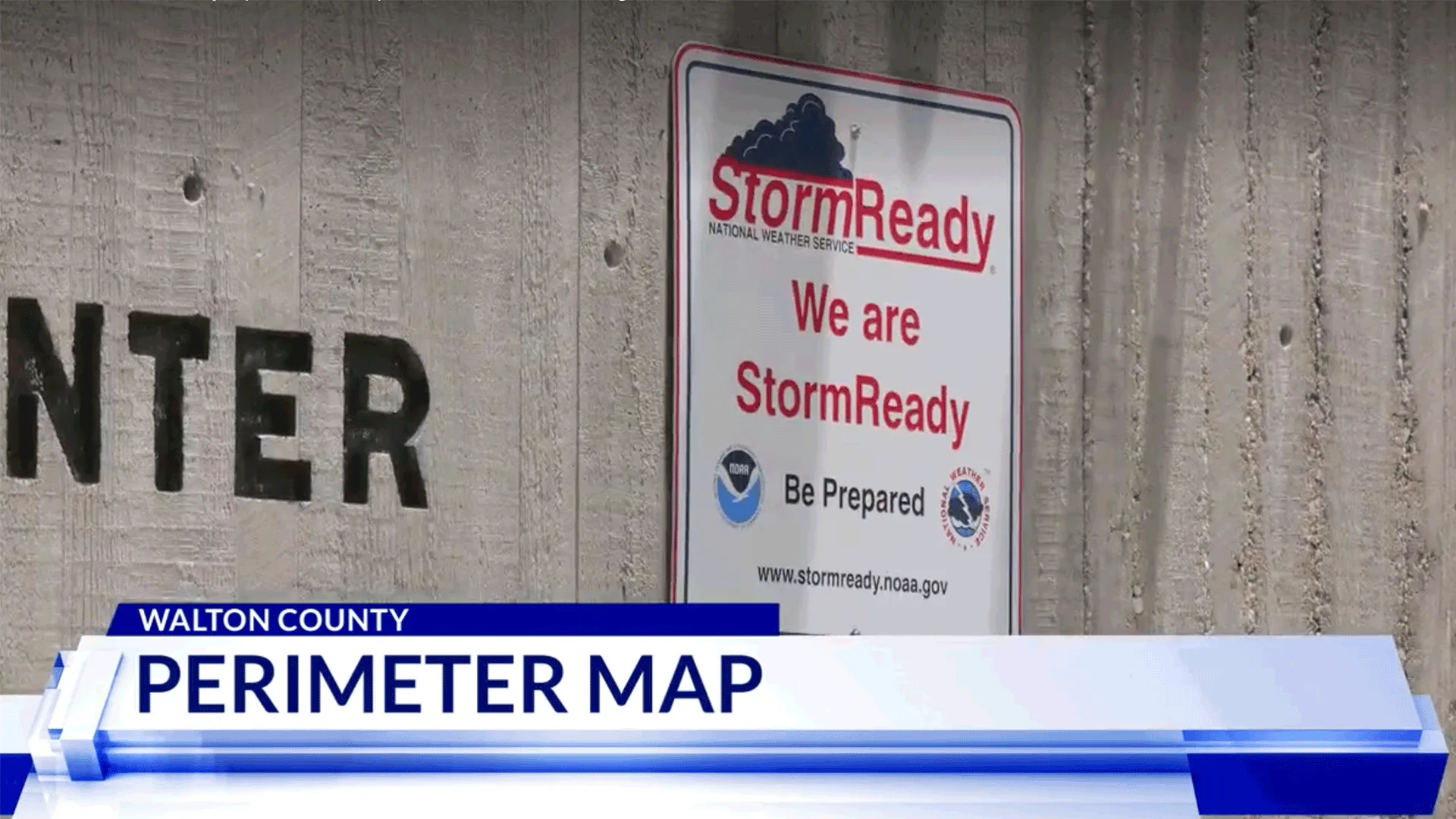
Walton County, Florida launches Perimeter Map for hurricane season and emergency response
Walton County, Florida has launched Perimeter Map to provide residents and visitors with real-time emergency information, as covered by WMBB News 13.
Walton County Emergency Management Operations Coordinator Catie Feeney told WMBB that the county needed an interactive map for residents and visitors to see real-time data on road closures and resources during a disaster. The map was first used during winter weather earlier this year and is now a key tool heading into hurricane season.
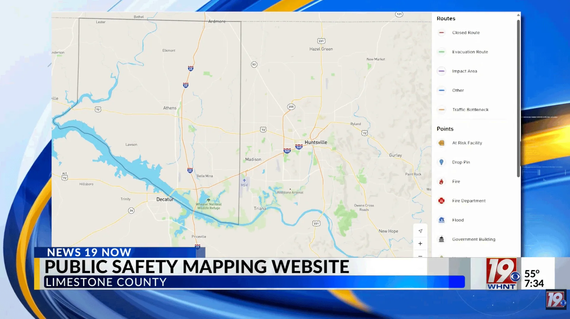
Through Perimeter Map, users can enter their address and instantly see nearby hazards, road closures, storm zones, emergency shelter locations, evacuation routes, and points of distribution for food, water, and supplies. “If you can operate a smartphone, if you can operate Facebook, it is very easy,” Feeney said. “This is not only going to help us in response, but it’s also going to help us in recovery long term, where people can get that disaster assistance they deserve.”
The Walton County map is available at perimetermap.com/Walton-Fl.
Perimeter Map is a real-time emergency management platform that supports information sharing and collaboration across public safety agencies and the communities they serve.